![Beinn a' Mheadhoin [Beinn a' Mheadhain]](https://cdn.walkmates.com/hill-photos/hill-placeholder.jpg)
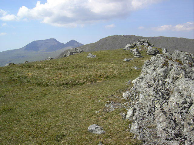
![NM5831 : Beinn a'Mheadhoin [Beinn a'Mheadhain]](https://cdn.walkmates.com/gallery-images/c217edee6f894b45bd2ee32c21d368a6.jpg)
Upland / Hill
Circular
Hard
Ben Nevis via Mountain Path
PaulWalkmates
Walk organiser

![Beinn a' Mheadhoin [Beinn a' Mheadhain] location map](https://cdn.walkmates.com/hill-maps/beinn-a-mheadhoin-[beinn-a-mheadhain].png)
No comments yet. Be the first.